Stay informed with free updates
Simply sign up to the Artificial intelligence myFT Digest — delivered directly to your inbox.
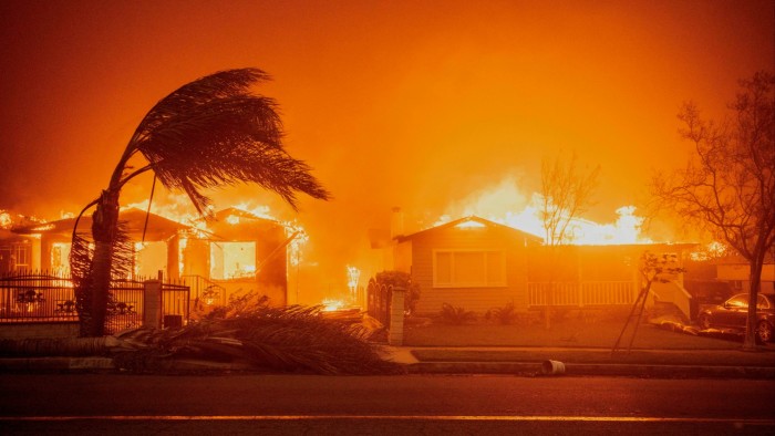
Scientists are deploying artificial intelligence to significantly improve predictions about when and where destructive wildfires will ignite, helping to mitigate disasters such as the one that recently devastated Los Angeles.
Experts at the European Centre for Medium-Range Weather Forecasts said their new Probability of Fire model could outperform the conventional danger forecasts used by wildfire trackers, by harnessing AI to analyse a wider set of data.
The PoF model takes into account not only predictions of weather conditions such as the heat and dryness associated with wildfires, but also other relevant details such as the amount of vegetation available to fuel blazes and even human activity.
Most wildfires are started by people accidentally or deliberately, though lightning strikes are sometimes responsible.
For example, the conventional fire risk forecasts used in January’s fires in Los Angeles — which killed at least 29 people and destroyed 16,000 homes and other buildings — identified broad areas as very flammable, but failed to target accurately the ignition hotspots.
The PoF model, which trained its AI model with 19 data sets, was able to predict with more precision where the fires would break out.
“Traditional fire danger indices often fail to pinpoint areas at risk of ignition with enough specificity,” said Francesca Di Giuseppe, who led the PoF project at the weather forecasting body. “This is where machine learning can help.”
Details of the wildfire model were published in Nature Communications on Tuesday.
Wildfires are becoming more frequent as a result of changes in climate, human activity and land use, posing a mortal threat to hundreds of millions of people and other species living in at-risk areas as well as trees and vegetation.
A University of Tasmania study published last year found the frequency of extreme wildfires worldwide had doubled since 2003. There could be a further increase of 30 per cent by the middle of the century, according to a recent assessment by Californian experts.
“Improving fire forecasts through better data and AI integration will be a game changer in the years to come,” said Florence Rabier, director-general of the weather research organisation headquartered in Reading in the UK.
“Although fire prediction is a challenging subject, as ignition remains an unpredictable process, agencies in charge of providing information . . . now have access to improved tools to help better protect lives, livelihoods, and ecosystems,” she added.
A benefit of the model was that it would allow even smaller agencies to implement effective fire prediction systems if they had good data, according to Di Giuseppe. “Almost anyone could do this locally because it doesn’t require massive supercomputing facilities,” she said.
Theo Keeping, a wildfire expert at the University of Reading who was not involved in the project, said the model filled in a vital operational gap by predicting accurately the likelihood of ignition, while classic risk forecasts were more useful at predicting the spread and intensity of a fire once one has started.
“An important shift here is the integration of the predicted amount and dryness of vegetation into the forecast product,” he said. “These factors are absolutely essential to predicting wildfire, but have hitherto been missing from purely meteorological forecast products.”